The diverse nature of the region offers plenty of options for self-guided outdoor activities and hiking, whether you're looking to boost your fitness and heart rate or simply enjoy the tranquility of nature. Whether your preferred activity is trail running, mountain biking, or hiking, the proximity of the shores allows you to occasionally feel the sweet, gentle sea breeze on your face, or at times, the unyielding power of the wind as it stirs your senses. Inland, you can hear the same wind rustling through treetops in the midst of silence. So, refresh yourself and improve your well-being, learn about nature, the unique characteristics of the coastal areas, and the phenomenon of land uplift, and get moving. Below, you'll also find tips for accommodations and dining options close to the routes, as well as equipment rental for hiking. After an active day outdoors, good food, a sauna, and a peaceful night's sleep in fresh linens are truly satisfying. Check our website for more suggestions on lodging, dining, and other activities.
Etiquette Is More than Just a Sticker on a Jam Jar
Shelters and Campfire Sites
Explore
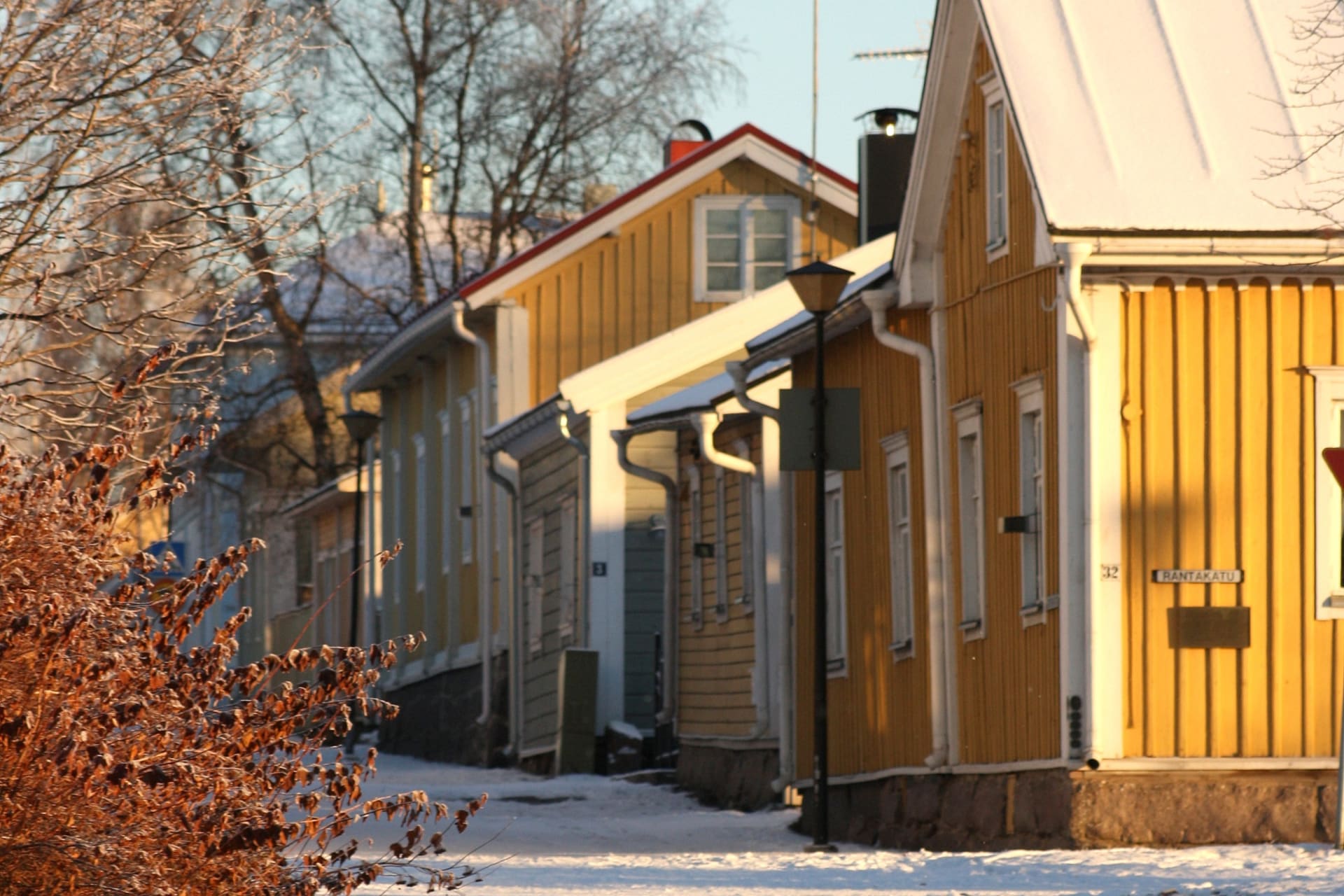
Old Town Raahe
A charming coastal town brimming with enchanting tales, rich history, and vibran....jpg)
Raahe Archipelago
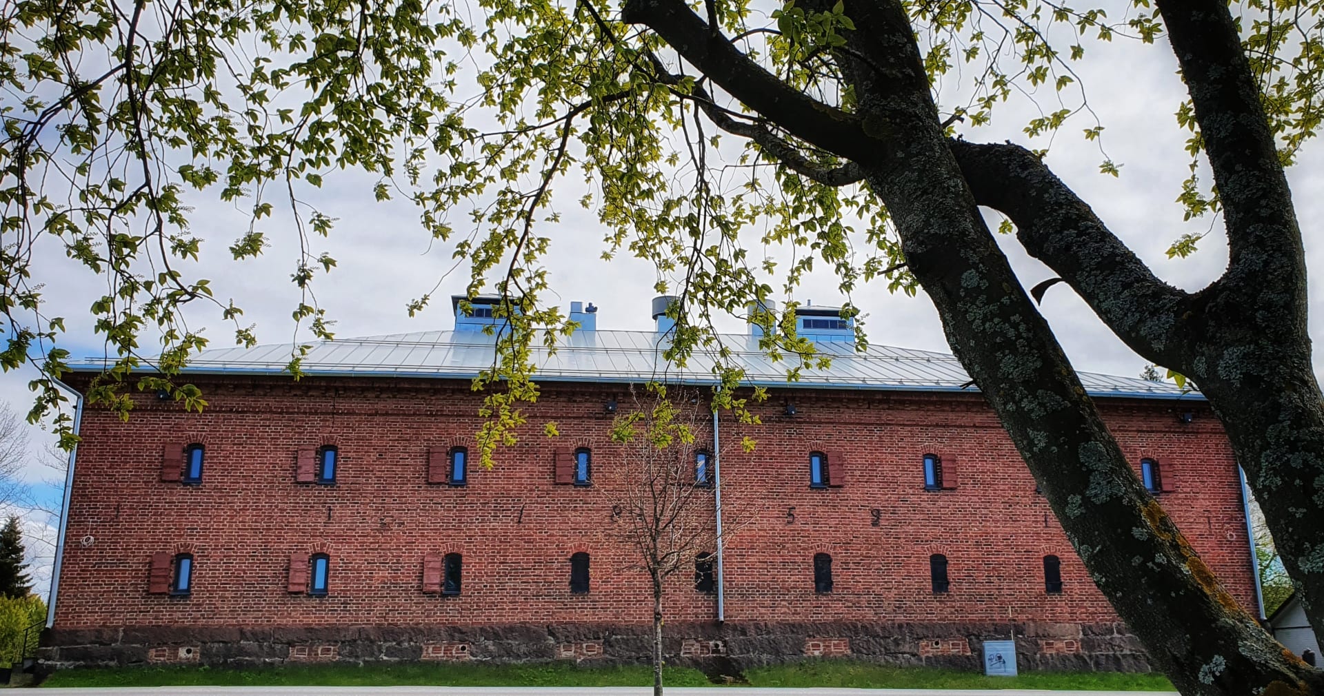
The Raahe archipelago, Finnish Outdoor Destination of the Year 2016, is a gem ri...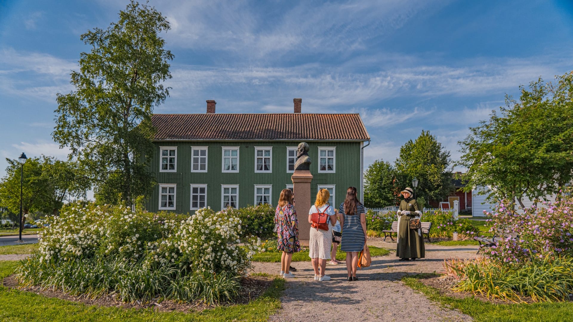
Guided Tours in Raahe
Welcome to Raahe, the city of stories! Raahe Guides Association (Raahen Matkailu...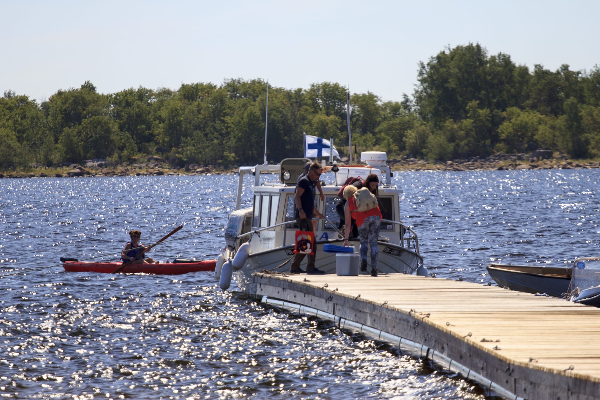
Island Hopping at Raahe Archipelago
Get to know the pearl of the Bay of Bothnia, the lacy network of Raahe archipela...
Historical Pilot House on Iso-Kraaseli Island
On the island of Iso-Kraaseli, in the Raahe Archipelago, stay either in the pilo...